
Depoe Bay
No recreational crossing
- 4–15 ft swell · wind 10 kt from the SW
- Ebb builds from ~9:22 AM against a 15 ft swell - expect breaking seas across the entrance - do not attempt a crossing near max ebb. Ebb estimated from tides - swell: NOAA bar report
Today's plan
Tide turns, daylight and danger periods for the next 24 hours
- 9:53 PMuntil ~12:15 AM 1Ebb against swell avoid Outgoing tide runs against 15 ft swell: steep, breaking seas across the entrance
- 1:00 AMtonight 2Low-water slack in the dark Low 1.9 ft · roughly 12:15 AM–1:45 AM
- 7:17 AMThu Sunrise First light 6:46 AM
- 7:52 AMThu 3High-water slack High 7.5 ft · roughly 7:07 AM–8:37 AM
- 9:22 AMuntil ~1:29 PM 4Ebb against swell avoid Outgoing tide runs against 15 ft swell: steep, breaking seas across the entrance
- 2:14 PMThu 5Low-water slack Low 2.6 ft · roughly 1:29 PM–2:59 PM
- 4:45 PMThu Sunset dark until 7:17 AM Last light 5:16 PM
- 8:03 PMThu 6High-water slack in the dark High 6.1 ft · roughly 7:18 PM–8:48 PM
- 8:48 PMuntil ~1:07 AM 7Ebb against swell avoid Outgoing tide runs against 15 ft swell: steep, breaking seas across the entrance
Live cameras
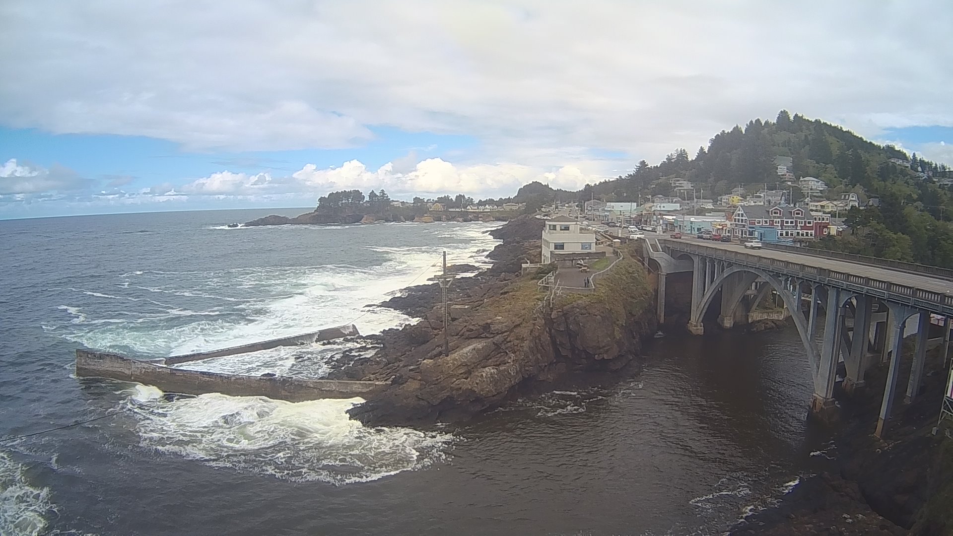
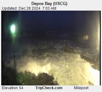
Tide & crossing chart next 24 hours
Numbers match Today's plan. Slack times are estimated from tide predictions. Confirm with Station Depoe Bay before crossing.
Updated bar report is as follows hole 4-6 foot steep, middle grounds 6-8 feet steep chop, buoy line 10-12 foot rolling swells, north reef 13-15 foot breaks on the series, flat rock 13-15 foot breaks on the series. Winds are 10 knots from the southwest and visibility seaward is 5 nautical miles. The Depoe Bay bar is currently restricted to all and all
Marine Forecast — Cape Falcon to Cape Foulweather
Data from NOAA National Weather Service. Forecast updates every 6 hours.
7-Day Forecast
Data from NWS api.weather.gov. Use for trip planning - verify conditions closer to departure.
Tide Predictions
NOAA tide predictions for the next 7 days. Height in feet above Mean Lower Low Water (MLLW). Best bar crossing is typically during slack tide (between high and low).
Tide height predictions chart. Data table follows.
| Date/Time | Height (ft) | Type |
|---|
Buoy 46097 — Newport Shelf
Real-time ocean conditions from the National Data Buoy Center (NDBC). Wave height, period, water temperature, and atmospheric data from offshore monitoring buoys.

Station 46097
Wave Height
No reading in the latest report
Wave Dir
No reading in the latest report
Wind Speed
5kt
Wind Dir
ESE120°
Water Temp
56°F
Air Temp
50°F
Pressure
1009mb
Observation: Nov 19, 2026 3:50 AM UTC | View on NDBC
Buoy History (48 Hours)
Wave height (blue) and dominant wave period (orange) from the NDBC buoy over the last 48 hours. Longer wave periods typically indicate ocean swell; shorter periods suggest local wind waves.
Buoy wave data chart showing wave height and period. Data table follows.
| Date/Time | Wave Height (ft) | Wave Period (sec) |
|---|
🦫 Oregon Fishing Resources
Oregon Dept. of Fish & Wildlife (ODFW)Get Alerts
Get notified when Depoe Bay conditions change.
Free account — email alerts