✓Ebb builds from ~3:45 PM against a 6 ft @ 14 s WNW swell - no major opposing-ebb hazard, but confirm conditions on the bar.Ebb estimated from tides - swell: buoy 46229
Heads up: NOAA hasn't refreshed this bar's conditions in 6h 43m. Values may be out of date — verify with the USCG bar station or alternative sources before crossing.
S wind to 5 kt. Wind waves S 1 ft at 4 seconds. NW swell 3 ft at 9 seconds. Widespread den…
Tonight
1–3 ft
N 5 kt
N wind to 5 kt. Wind waves N 1 ft at 4 seconds. NW swell 3 ft at 9 seconds. Areas of dense…
Wed
1–3 ft
NE 5 kt
NE wind 5 kt, backing to NW to 5 kt in the afternoon. Wind waves NE 1 ft at 4 seconds, shi…
Wed Night
1–3 ft
NW 5 kt
NW wind 5 kt, backing to SE after midnight. Wind waves NW 1 ft at 4 seconds, shifting to t…
Data from NOAA National Weather Service. Forecast updates every 6 hours.
7-Day Forecast
Thursday
65°F
Mostly Sunny
6 to 14 mph N
Friday
68°F
Mostly Sunny
6 to 14 mph N
Saturday
66°F
Mostly Cloudy
3 to 13 mph W
Sunday
65°F
Sunny
6 to 15 mph N
Monday
66°F
Sunny
9 to 16 mph N
Tuesday
67°F
Mostly Sunny
8 to 13 mph N
Wednesday
66°F
Mostly Sunny
7 to 12 mph N
Data from NWS api.weather.gov. Use for trip planning - verify conditions closer to departure.
Tide Predictions
Scroll to zoom, drag to pan
NOAA tide predictions for the next 7 days. Height in feet above Mean Lower Low Water (MLLW). Best bar crossing is typically during slack tide (between high and low).
Loading tide data...
Tide Predictions
Pinch to zoom, drag to pan
Tide height predictions chart. Data table follows.
Slack times estimated from tide data. Verify with USCG before crossing.
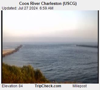
Crossing Safety: Slack water (±30 min) is safest. Avoid crossing when strong ebb meets ocean swell - dangerous standing waves form at bar entrance.
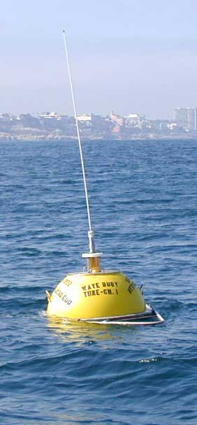
Buoy 46229 — Umpqua Offshore
obs — · —
Real-time ocean conditions from the National Data Buoy Center (NDBC). Wave height, period, water temperature, and atmospheric data from offshore monitoring buoys.
Station 46229
Wave Height
6.2ft
Dom Period
14s
Avg Period
8.2s
Wave Dir
WNW293°
Wind Speed
--kt
Wind Dir
--
Water Temp
54°F
Air Temp
54°F
Pressure
--mb
Observation: May 19, 2026 4:00 PM UTC
| View on NDBC
Long-period swell
14s period - smooth rolling waves
Easier to navigate. Waves break predictably with time between sets.